News – Sheridan Media
The University of Wyoming has announced that in partnership with the The U.S. Geological Survey (USGS), and many other collaborators, the third volume in a series of new maps of big-game migration corridors has been published.
According to UW, the new maps add more valuable tools for land managers and policymakers to mitigate the impacts of development on wildlife.
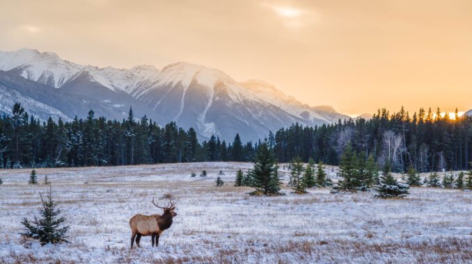
Each spring and fall, deer, elk, pronghorn and other hoofed mammals migrate throughout the western US, a critical behavior that allows them to avoid deep snow and access the most nutritious forage. But, as the human footprint in the West expands, these migratory animals increasingly face obstacles such as new development, impermeable fences and high-traffic roads.
The university reports that detailed mapping from GPS collar data, such as those in this map series, can help identify where migrations overlap with existing and potential barriers to movement. A state-tribal-federal partnership, known as the Corridor Mapping Team, has been working to develop standard techniques to map migration corridors and make migration maps available to the public.
To learn more on this, click here. The report, “Ungulate Migrations of the Western United States: Volume 3,” can be accessed here.
More Like this


Last modified: December 19, 2022